
East, London
Group Exhibition
Total Climate, Part 3: The Map and the Territory
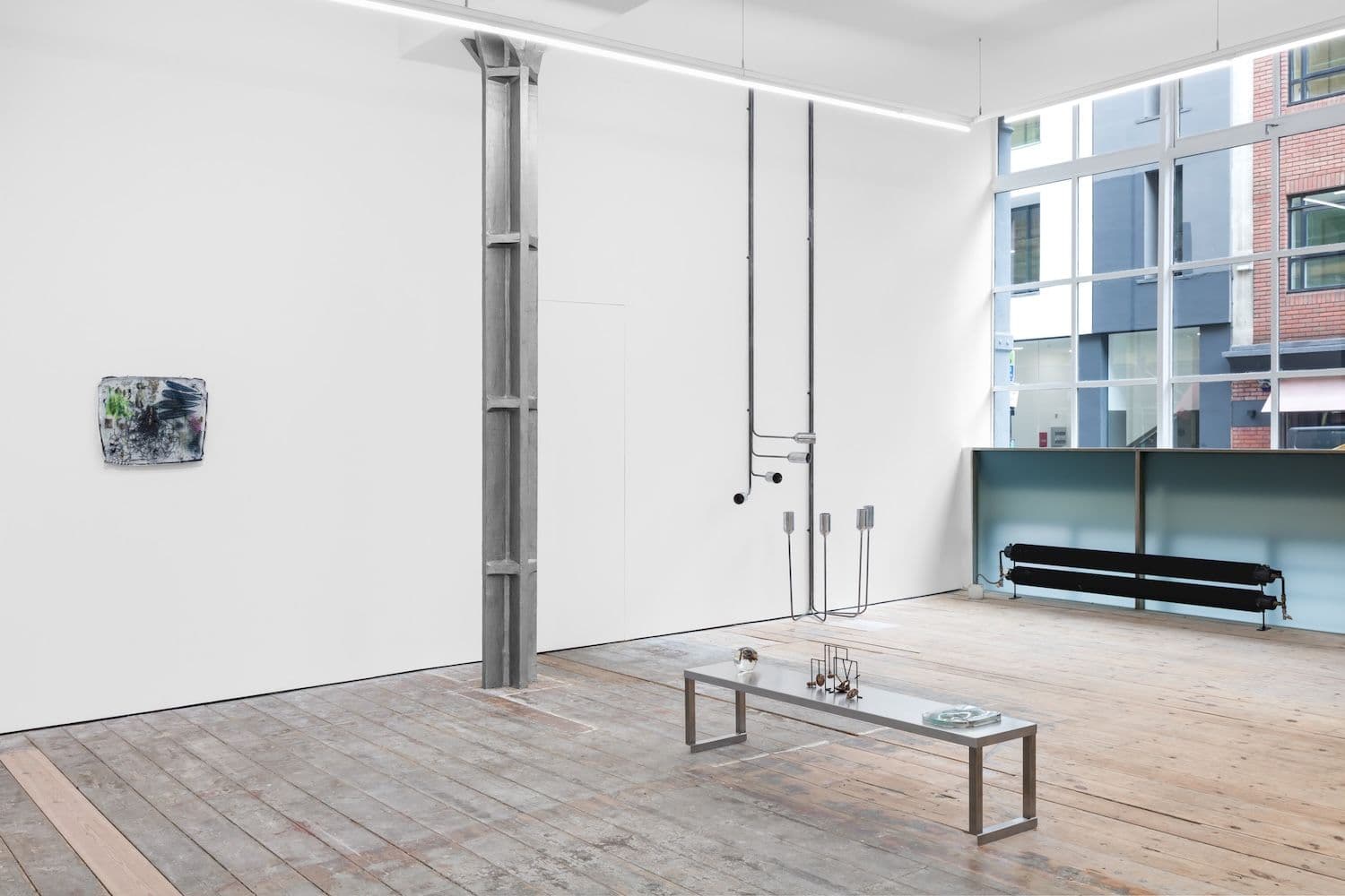
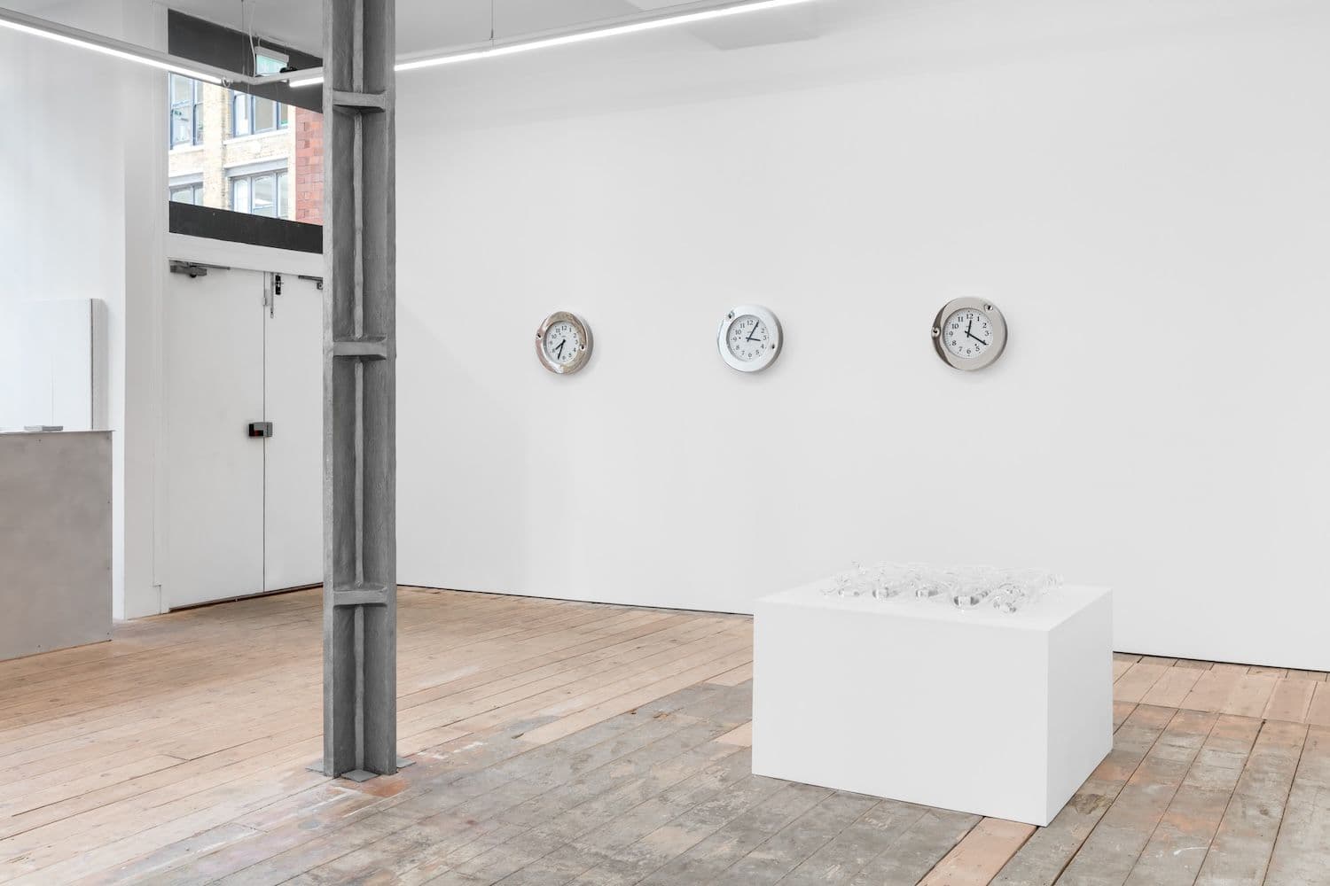
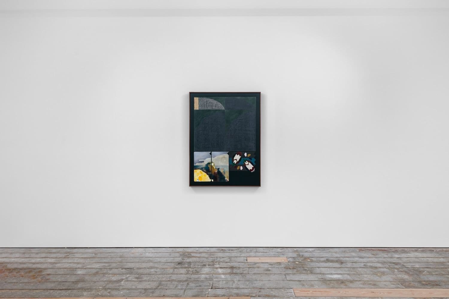
NicolettiAlfredo Aceto, Diane Cescutti, Haroun Hayward, Onyeka Igwe, Chloé Quenum, Theresa Weber, Abbas Zahedi Nicoletti is pleased to present Total Climate Part 3: The Map and the Territory, the third and final chapter of Total Climate, a cycle of exhibitions reflecting upon the relationship between colonial history and ecological crisis. Inspired by discourses exploring the links between social inequality, structural racism and environmental deterioration, Total Climate stems from a cycle of research initiated by artist Gaëlle Choisne, curator and researcher Estelle Marois, and Nicoletti's director Camille Houzé. Borrowing its title from American scholar Christina Sharpe, who defines racism not only as an ideology or a set of actions but as a ‘total climate' – a condition that contaminates the entirety of the environment, down to particles and the air we breathe –, Total Climate presents the work of artists whose practices conjure the interwovenness of natural and historical processes, exposing the way in which natural exploitation, cultural domination and territorial possession are always already part of the same imperial gesture. After having analysed how historical mechanisms and trauma are embedding themselves within the material composition of the environment in Part 1: The Infinitesimal and the Mobile, Total Climate Part 2: Wavelengths focused its attention on notions of knowledge and sensibilities, examining how colonialism operates within the formation of ‘intellectual climates'. Subtitled The Map and the Territory, the third chapter examines the ideologies hidden behind established conceptualisations of space and time, beginning by acknowledging that the way we measure and represent the world has a history – and that the development of maps and clocks is closely tied to the logic of colonial expansion. These instruments, originally designed to serve an imperialist political and economic agenda, aimed to accelerate colonial growth. In so doing, they increasingly distanced us from premodern and non-Western ways of conceiving, understanding, and experiencing space and time – ways that are often aligned with cycles observed in the living environment. Through existing and specifically-commissioned artworks, the artists in the exhibition challenge the widely accepted notion of space and time as self-evident phenomena, reflecting upon how the standardisation of these concepts paradoxically resulted in their 'naturalisation' – to the point that they remain largely unquestioned. Conjuring alternative articulations of space and time that defy conventional metrics, some of the exhibited artworks explore the discrepancies between territory formation and their modes of representation by, for instance, producing alternative techniques of mapping that involve fiction, computation, or material history. Other artworks use site-specific intervention, sound or assemblage as methods to redistribute the coordinates of spatial and temporal structures, deconstructing inherited modes of orientation, circulation and perception while inviting us to experiment alternative understandings of space, time, and history.